Science Source
Extent of the rain‐snow transition zone in the western U.S. under historic and projected climate
 Investigates the extent of the rain-snow transition zone across the complex terrain of the western United States for both late 20th century climate and projected changes in climate by the mid-21st century
- Uses observed and projected temperature and precipitation data at 4 km resolution with an empirical probabilistic precipitation phase model to estimate and map the likelihood of snow versus rain occurrence
- This approach identifies areas most likely to undergo precipitation phase change over the next half century
- At broad scales, these projections indicate an average 30% decrease in areal extent of winter wet-day temperatures conducive to snowfall over the western United States
- At higher resolution scales, this approach identifies existing and potential experimental sites best suited for research investigating the mechanisms linking precipitation phase change to a broad array of processes, such as shifts in rain-on-snow flood risk, timing of water resource availability, and ecosystem dynamics
- Finds that the western U.S. is projected to see an average monthly reduction from ~53% to ~24% in the extent of the land area within a wintertime snowfall regime
Related Content
Headline
Mar 23, 2018 | News Deeply
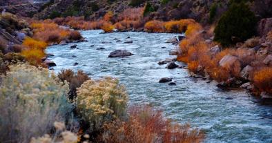
Grim Forecast for the Rio Grande Raises Concern
Headline
Mar 21, 2018 | California Weather Blog
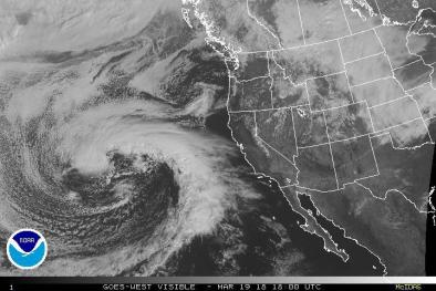
Pineapple Express deluge in Southern California; high risk of Thomas Fire flash floods & mudslides
Headline
Mar 6, 2018 | BuzzFeed
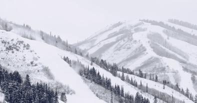
Mountain Snow In The Western US Is Declining Because Of Climate Change, A New Study Finds
Headline
Mar 6, 2018 | The Mercury News
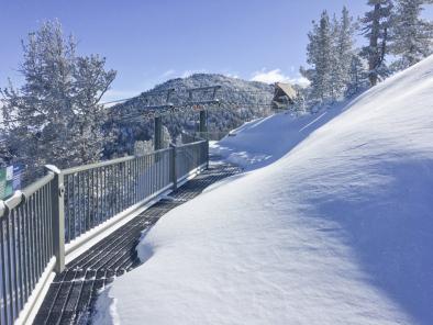
Welcome winter storm slows California’s plunge back to drought
