‘Extreme’ jet stream pattern has spurred a week of wild weather in U.S.
Is it July or March? A rare and steep summer dip in the jet stream has brought an incredibly wacky week of weather to the Lower 48.
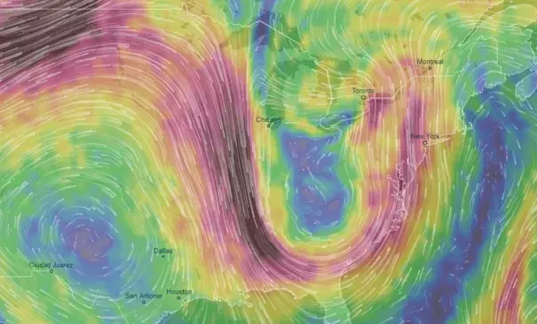
Usually, this fast-moving air current along which storms track retreats in summer, meandering listlessly in Canada.
Not so in recent days.
“The jet stream has stretched all the way from Canada to the Gulf of Mexico over the eastern U.S., helping to trigger the intense tornado outbreak in Iowa, and the persistent, torrential rains in the Mid-Atlantic,” said Jeff Halverson, Capital Weather Gang’s severe weather expert. “Even veteran meteorologists with decades of experience are astounded by the extreme nature of this jet stream pattern.”
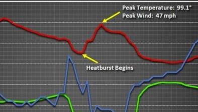
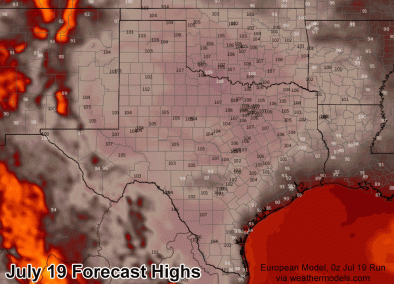
As this jet stream and pool of cold air in its wake have interacted with all of the intense midsummer heat over the Lower 48, it has incited all sorts of unusual and severe weather. Not only has the pattern been extreme but it has also become stuck in place. This has led to day after day of remarkable and frequently disruptive weather.
Related Content