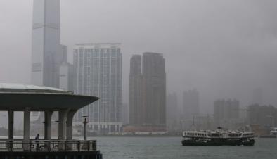
Haima Slams into Northern Philippines
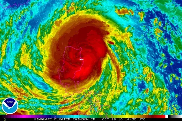
Still raging at Category 4 strength, Typhoon Haima (dubbed Lawin in the Philippines) was moving into the northern Philippines on Wednesday night local time. As of 9:00 am EDT Wednesday (9:00 pm local time), Haima was located about 235 miles northeast of Manila, moving west-northwest at about 19 mph. Haima became Earth’s seventh Category 5 storm of the year on Tuesday, with top sustained winds peaking at 165 mph and a minimum central pressure estimated at 900 mb by the Japan Meteorological Agency. Interactions with the mountainous island of Luzon have since chipped away at at Haima’s strength. Top sustained winds were down to 120 knots (140 mph) as of 9 am EDT Wednesday. As noted by Jonathan Erdman (weather.com), if Haima makes landfall with sustained winds of at least 113 knots (130 mph), it will be the first Category 4 storm to strike northeast Luzon since Naigae in September 2011.
Related Content