'Hindcasting' study investigates the extreme 2013 Colorado flood
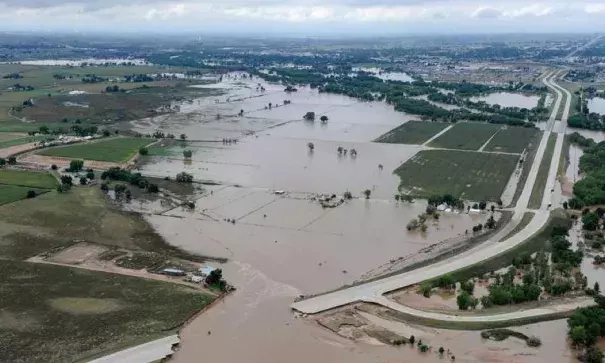
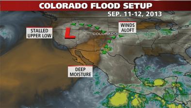
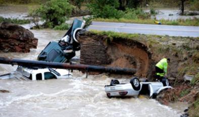
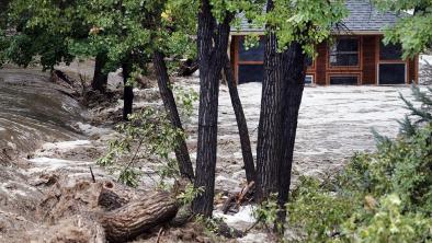
In September 2013, severe storms struck Colorado with prolonged, heavy rainfall, resulting in at least nine deaths, 1,800 evacuations and 900 homes destroyed or damaged. The eight-day storm dumped more than 17 inches of rain, causing the Platte River to reach flood levels higher than ever recorded.
The severity of the storms, which also occurred unusually late in the year, attracted the interest of scientists at Lawrence Berkeley National Laboratory who specialize in studying extreme weather. In many instances, their research has shown that such events are made more intense in a warmer climate.
In a paper that appeared online on July 18, 2017 at Weather and Climate Extremes, the team reports that climate change attributed to human activity made the storm much more severe than would otherwise have occurred.
"The storm was so strong, so intense, that the standard climate models that do not resolve fine-scale details were unable to characterize the severe precipitation or large scale meteorological pattern associated with the storm," said Michael Wehner, a climate scientist in the lab's Computational Research Division and co-author of the paper.
Related Content