Pesky Hermine Keeps Laboring
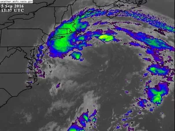
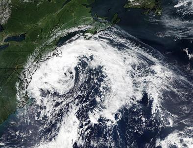
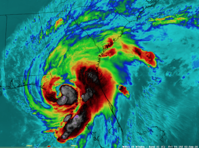
For days, computer models had suggested that Hermine would be re-intensifying on Monday and perhaps regaining some tropical characteristics. It now appears that process has been torpedoed by a timing problem. On Sunday, Hermine was located near the north edge of the Gulf Stream, where it had access to 26-28°C waters (at least 2°C above average). The idea was that Hermine would take advantage of that oceanic warmth while an upper-level low to its west would give Hermine a dynamical boost and pull it closer to the U.S. coast. However, the upper low’s influence was delayed, in part because Hermine moved so far east over the weekend. Now Hermine is approaching waters cooler than 26°C, too cool to support much in the way of tropical redevelopment.
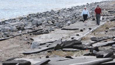
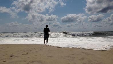
Computer models now agree on weakening Hermine gradually over the next couple of days, but residents of coastal New York and southern New England would be smart to keep an eye on it...If nothing else, Hermine’s approach will keep surf high and rip current dangerous, especially along beaches east and north of New York City and along the New Jersey coast
Related Content