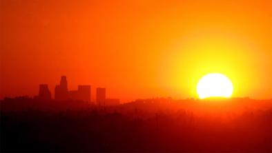
U.S. Endures its Sultriest Summer Nights on Record
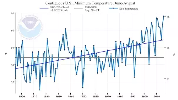
The broiling summer of 2016 placed fifth hottest among the 122 summers since records began in 1895 for the contiguous U.S., according to NOAA analyses released on Thursday. Even more impressive, this past summer (June through August) saw the highest average minimum temperature on record--certainly no surprise to people across the country who endured one muggy night after another. The average daily minimum for June through August 2016 was a balmy 60.81°F, beating the record of 60.70°F set in 2010. The average daily summer low in the contiguous 48 states has climbed about 1.4°F in the last century. That’s double the increase of 0.7°F in the average daily summer high.
...
In a climate warmed by increasing greenhouse gases, computer models and basic theory agree that nights should warm more quickly than days. In large part this is because of increasing atmospheric moisture that keeps nighttime temperatures up, even when that moisture doesn’t actually produce rain. Climate Central has a handy site that allows you to calculate the ongoing increase in summer dew point temperatures for more than 100 cities around the nation. In larger cities, there’s another human-produced climate effect in the mix: the urban heat island, whereby the pavement and buildings of metro areas heat up by day and release the heat by night. The urban heat island is only a small part of the global temperature picture, since rural areas and oceans are heating up as well
Related Content