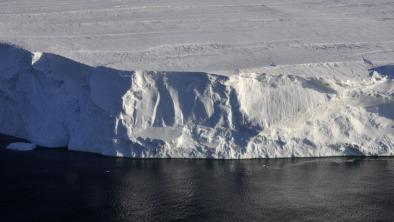
Accelerated West Antarctic ice mass loss continues to outpace East Antarctic gains
- States that a decade of time-variable gravity observations details Antarctic ice melting
- Reports progress in increasing the accuracy and spatial resolution of time-variable gravimetry from the Gravity Recovery and Climate Experiment (GRACE)
- Determines the geographic pattern of ice mass change in Antarctica between January 2003 and June 2014 (accounting for glacio-isostatic adjustment, GIA)
- Finds that West Antarctica has been losing ice mass at a rate of −121±8 Gt/yr and has experienced large acceleration of ice mass losses along the Amundsen Sea coast of −18±5 Gt/yr2, doubling the mass loss rate in the past six years (ignoring GIA model uncertainty)
- Finds that the Antarctic Peninsula shows slightly accelerating ice mass loss, with larger accelerated losses in the southern half of the Peninsula
- Estimates the overall mass losses from Antarctica since January 2003 at −92±10 Gt/yr
- Finds that slepian-function analysis reduces footprint of satellite-gravity based approaches
- Finds that a localized estimation approach dramatically reduces number of degrees of freedom.
- Resolves detailed patterns of ice melting using GRACE data products
- Figure 1 below:
 Ice mass change (mass corrected using the GIA model by Ivins et al., 2013) over Antarctica for the period January 2003 to June 2014. This solution is from a localization over the whole of Antarctica. Solid black line is a rough coastline including ice fronts. Dashed line is our localization region outline which is a 0.5° buffered version of grounded ice determined from altimetry (all ice fronts were used for the Peninsula, see Supplementary Material). The integral value (Int = −925) is the total change for the entire epoch, in gigatons (Gt). Regional solutions for West Antarctica, the Antarctic Peninsula, and Dronning Maud Land, are shown in Fig. 3 (covering the areas of box a and box b) and in the Supplementary Material (for box c), respectively.
- Figure 2 below:
 Ice mass changes (mass corrected using the GIA model by Ivins et al., 2013) in gigatons (Gt) for several regions of Antarctica including West Antarctica, the Antarctic Peninsula, Dronning Maud Land, Wilkes Land, and the whole of Antarctica. The regions covered by each localization are shaded red in the top right inset. The black lines are monthly GRACE observations with 2σ error bars determined from our analysis. The solid blue lines are the best-fit quadratic curves. We elect not to plot a trend line in panel c, listing the parameters of the fit only for completeness.
- Figure 3 below:

Time-resolved maps of ice mass change (mass corrected using the GIA model by Ivins et al., 2013) over West Antarctica and the Antarctica Peninsula for odd years from 2003 to 2013. Each panel shows the estimated mass change from January of the labeled year (e.g., 2003) to January of the following year (e.g., 2004). Changes seen between panels are due to accelerations. The top two rows of panels correspond to the area of box a in Fig. 1 and use the top scale bar. The bottom two rows use the bottom scale bar and correspond to box b in Fig. 1. For West Antarctica, the area of the localization includes grounded ice basins with a 0.5° buffer along ocean borders, and is outlined with a dashed line. For the Peninsula the localization includes grounded ice and ice shelves with a 0.5° buffer, also shown with a dashed line. The integral values of the mass change per year are shown as “Int”, expressed in gigatons (Gt). When the color bar is saturated, as in 2011, the minimum value of the field is shown in the top right as “Min” with units of centimeters per year water equivalent.
Related Content