Science Source
A New Subsidence Map for Coastal Louisiana
I think it’s a point worth making that we are finding here that what people recently have considered worst case scenarios are actually conditions that we already see right now.
Torbjörn Törnqvist, a geologist at Tulane University and a co-author on the new paper
- States that coastal Louisiana has experienced catastrophic rates of wetland loss over the past century, equivalent in area to the state of Delaware
- States that land subsidence in the absence of rapid accretion is one of the key drivers of wetland loss
- Argues that accurate subsidence data should therefore form the basis for estimates of and adaptations to Louisiana’s future
- States that Jankowski et al. (2017) recently determined subsidence rates at 274 sites along the Louisiana coast
- Presents a new subsidence map based on these data and calculate thats, on average, coastal Louisiana is subsiding at 9 ± 1 mm yr−1
Related Content
Headline
Feb 15, 2023 | Climate Nexus Hot News
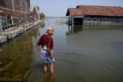
Senegal's Saint-Louis At Forefront Of Sea Level Rise-Fueled Disruption
Headline
Sep 1, 2022 | Climate Nexus Hot News
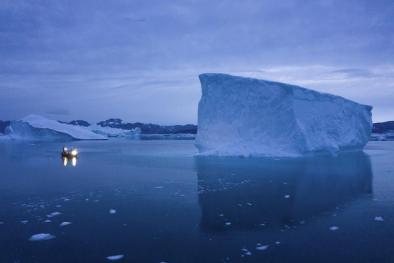
Greenland Ice Already Doomed To Melt Will Raise Global Sea Levels At Least 10 Inches
Headline

Aug 3, 2022 | Climate Nexus Hot News
Coastal flooding on the rise as sea levels climb, finds NOAA
Headline
Jul 21, 2022 | CNN
A 'Not Normal' Amount Of Greenland's Ice Melted Last Weekend
