High Streamflow is Increasing, Raising Flood Risks
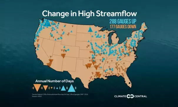
With the frequency of heavy precipitation increasing across most of the U.S., it follows that streamflow levels may be increasing as well. A Climate Central analysis of streamflow data at more than 2,100 active gauges found that the number of days with high stream flow (the top 25 percent of readings) has risen over the past 30 years in the largest rivers of the U.S., including the Ohio, Missouri, and Mississippi.
This streamflow analysis complements the National Climate Assessment and previous Climate Central analyses, which show that heavy precipitation is increasing in the Northeast and Midwest, consistent with what is expected in a warming world. Heavy precipitation is the key element driving streamflow, although urbanization and the reduction of permeable surfaces also play roles, as does the engineering of dams and levees.
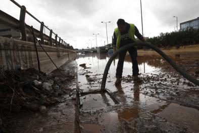
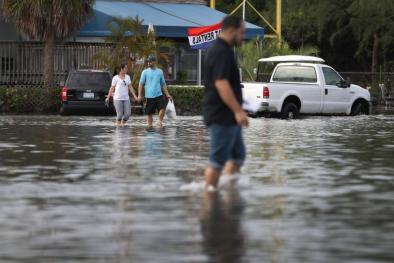
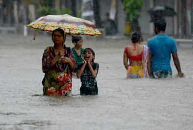
The increasing number of days with high streamflow indicates that the risk for stream and river flooding is also on the rise. Additional data from the National Climate Assessment shows this is already happening, as the magnitude of flooding is increasing in the Mississippi Valley, Ohio Valley, and the Northeast.
Related Content