Ian Hits Cuba, On Track To Deluge Tampa Bay
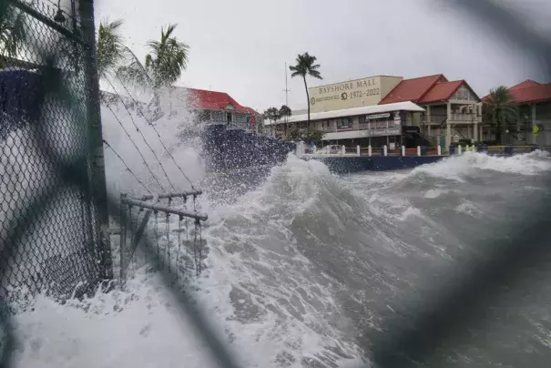
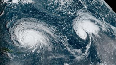
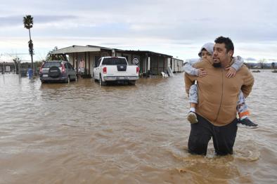
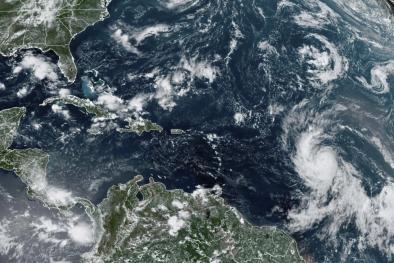
Hurricane Ian – now a Category 3 and set to strengthen into a Category 4 storm – made landfall near La Coloma in southwest Cuba around 4:30 am this morning, bringing with it sustained winds of 125 mph and storm surge pushing water as much as 14 feet above normal tide levels. The storm is forecast to churn slowly northward toward Tampa Bay, Florida where officials have issued evacuation orders and residents are preparing for catastrophic storm surge, excessive rainfall, and winds from what could be the first direct hit to the area by a hurricane in over a century. Ian may become the first major hurricane to hit the U.S. this year — Fiona was a Category 1 storm when it hit Puerto Rico. “I’m stressed,” Mark Luther, a University of South Florida expert on the physics of oceanography, told the Washington Post. Projected storm surge of up to 10 feet could push houses off their foundations and “The street in front of my house floods during a bad high tide,” Luther said.
(AP, Washington Post $; Cuba: (CNN; Tampa Bay: Washington Post $, AP, CNN, Reuters, Gizmodo, The Hill, Bloomberg $, NBC, CBS, ABC)
(Climate Signals background: Hurricanes, Storm surge increase, Coastal flooding increase)
To receive climate stories like this in your inbox daily click here to sign up for the Hot News Newsletter from Climate Nexus:
Related Content