Stormy Pacific, Quiet Atlantic
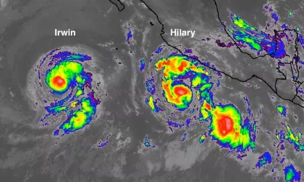
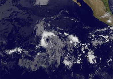
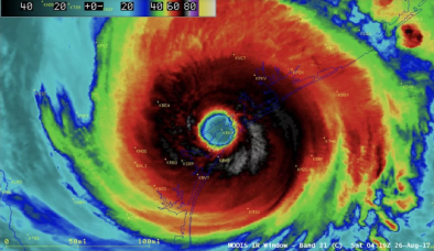
Tropical cyclones have been strewn across the North Pacific over the last several days, while the Atlantic remained free of tropical activity, in an east-west contrast that’s about as sharp as we ever get. On Saturday, there were eight tropical storms and depressions north of the equator between the Americas and Asia. The last time there were that many tropical cyclones across the North Pacific was in 1974, according to Phil Klotzbach (Colorado State University).
The Atlantic got off to an energetic start this year, with two tropical storms already pushing from the deep tropics into the southeast Caribbean (Bret in mid-June and Don in mid-July). However, the easterly waves moving from Africa into the tropical Atlantic have become notably weaker and less organized over the last couple of weeks, and that shift is predicted to continue through at least the end of July. As we’ll see below, August may be a different matter.
Related Content