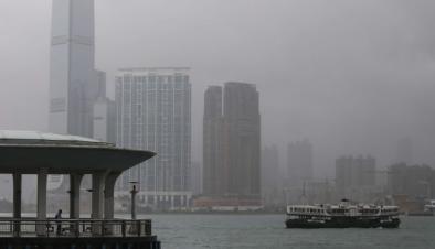
Super Typhoon Haima Takes Aim on Philippines
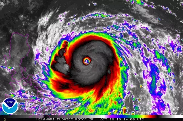
Now an extremely dangerous Category 5 storm, Super Typhoon Haima is en route to hammer parts of the far northern Philippines that were slammed by another typhoon less than a week ago. Packing top sustained winds of 160 mph (1-minute average) on Tuesday morning, Haima was located about 450 miles east of the Philippines, moving just north of due west at about 17 mph. Haima’s power was obvious on satellite imagery Tuesday morning, with a large ring of intense thunderstorms with very cold cloud tops completely encircling Haima’s distinct eye. Haima is not only intense but mammoth: hurricane-force winds extend more than 60 miles northeast of its center and tropical-storm-force winds extend more than 200 miles northeast.
Haima’s track should angle slightly rightward over the next 24 hours, which would bring the typhoon onto the far northeast coast of the Philippines’ Luzon Island on Wednesday night local time (Wednesday afternoon EDT). Now that Haima has completed an eyewall replacement cycle, its overall structure should remain intact up through landfall. Haima’s new eye is nearly 30 miles across, large enough to allow considerable contraction. Together with the trends evident on satellite, this suggests that Haima could intensify even more prior to landfall. The Joint Typhoon Warning Center (JTWC) has Haima approaching Luzon as a Category 5 storm on Wednesday. More than 48 million people live on the island, although the population density is larger toward the island’s southern end, where Manila is located. The sparsely populated northeast coast of Luzon appears on track for an extremely powerful hit from Haima. Fortunately, there are no cities along this coast the size of Tacloban City, where the storm surge associated with Super Typhoon Haiyan killed more than 5000 people in 2013. The largest population center of far northeast Luzon is the city of Tuguegarao, located about 25 miles inland and shielded by a coastal range of mountains.
...
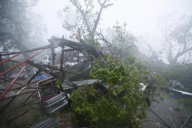
It was just last Sunday local time when Tropical Storm Sarika made landfall on the east coast of Luzon shortly after attaining Category 4 strength. Sarika’s west-northwest track took it across the heart of the island, where it produced rainfall totals that topped 20 inches in spots. Sarika is now approaching far northern Vietnam and far south China as a much weaker storm, though it could still drop more than 8” of rain along its slow-moving path. Haima is likely to dump another 10 - 20” of rain, with even higher local totals, across the northern half of Luzon, along a track roughly 100-150 miles north of Sarika’s. Following in Sarika’s footsteps, Haima is expected to continue toward a second landfall on the coast of south China as a much weaker system.
Related Content