GISS Surface Temperature Analysis
NASA Goddard Institute for Space Studies

NASA's "Global Maps from GHCN v3 Data" allow users to select parameters to create a surface temperature anomaly or trend map.
Graphs and tables are updated around the middle of every month using current data files from NOAA GHCN v3 (meteorological stations), ERSST v4 (ocean areas), and SCAR (Antarctic stations).
Related Content
Science Source
| Environmental Health
Projections of temperature-attributable premature deaths in 209 U.S. cities using a cluster-based Poisson approach
Joel D. Schwartz, Mihye Lee, Patrick L. Kinney et al
Real Time Data
Feb 25, 2016 | The Weather Channel
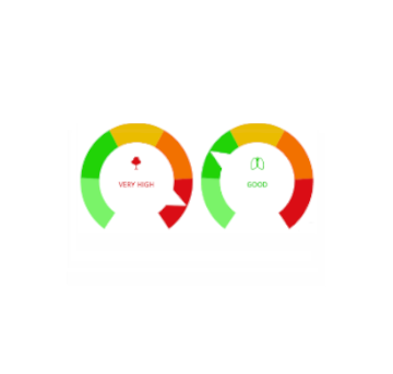
Allergy Tracker
Science Source
| Nature
The increasing intensity of the strongest tropical cyclones
James B. Elsner, James P. Kossin, Thomas H. Jagger
Headline

Jan 18, 2016 | International Business Times
Warmest December On Record Affected The Economy: Report
