Florence Expected to Stall Near Coast, Bringing Extreme Rain, Surge, and Wind Damage
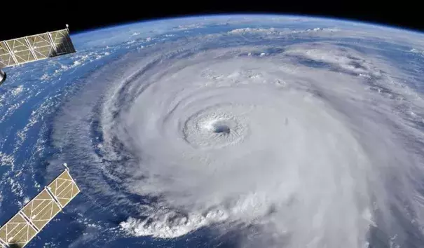
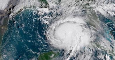
At 11 am EDT Wednesday, Florence was about 485 miles southeast of Wilmington, North Carolina, moving northwest at 15 mph. Sea surface temperatures (SSTs) were a warm 29° - 29.5°C (84° - 85°F), which is about 2°- 4°F above average.
...
Florence’s environment is very conducive for intensification. The SHIPS model predicts shear will remain low through Thursday night. SSTs will be near 29 - 29.5°C (84 - 85°F) during this period, and ocean heat content will be high, near 30 - 40 kilojoules per square centimeter.
...
Our top three intensity models unanimously predict Florence will remain a Category 4 hurricane with 130 - 140 mph winds through Thursday night, and the storm is also expected to increase in size...The Wednesday morning forecasts by our top three intensity models all predicted that Florence would weaken on Thursday night and Friday morning as it neared land, becoming a Category 3 storm with 115 – 125 mph winds.
...
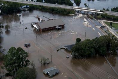
Florence’s stall near the coast and slow motion will result in prodigious amounts of rain. If a significant portion of the storm’s circulation remains over water, as occurred last year with Hurricane Harvey’s stall over Southeast Texas, the rain from Florence may break all-time state records for rainfall from a hurricane or tropical storm. North Carolina’s state rainfall record from a hurricane is 24.06” from Hurricane Floyd of 1999, South Carolina’s is 18.51” from Tropical Storm Jerry of 1995, Virginia’s is 27.00” from Hurricane Camille of 1969.
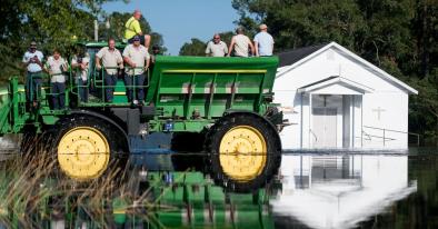
Soils are near saturation in some areas of Florence’s likely heavy rain zone, thanks to a record-wet summer. Heavy rains run off of wet soils and create bigger floods. There is also the danger that Florence could make landfall, then emerge back over water and re-intensify, increasing its rainfall potential. In any case, Florence’s rains will bring catastrophic flooding to a large region along the track of the storm.
Related Content