South Central Maya Express Floods 2016
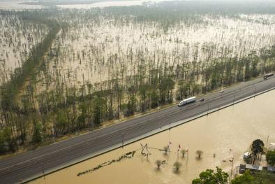
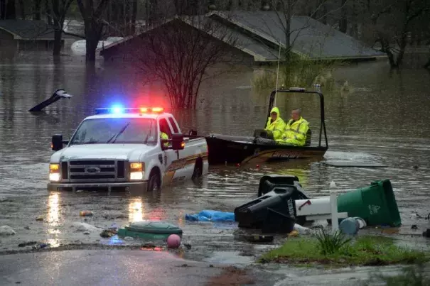
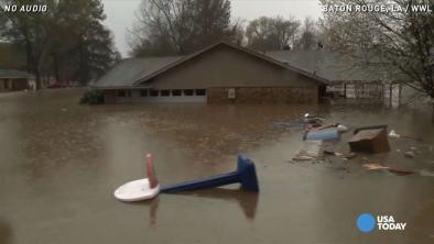
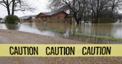
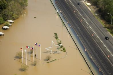
A “remarkably rare” storm of “unprecedented strength” dumped record amounts of rain in the south central US beginning Monday, March 7, and forecasters expect the deluge to continue through Saturday. Northern Louisiana has seen the worst impacts so far, with widespread 1-in-200 year rainfall with locations experiencing 1-in-1,000 year rains.


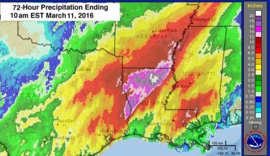
Record sea surface temperatures in the Pacific and above average waters in the South Caribbean supercharged the passing atmospheric river that fed this classic El Niño storm
A “remarkably rare” storm of “unprecedented strength” dumped record amounts of rain in the south central US beginning Monday, March 7, and forecasters expect the deluge to continue through Saturday.[1] Northern Louisiana has seen the worst impacts so far, with some locations experiencing 1-in-1,000 year rains. Extreme weather records tend to be broken when natural variability happens to run in the same direction as climate change, as here.
Climate connections of the Maya Express
There are several connections between climate and these record rainstorms:
- The storm is supercharged by running through an atmosphere made wetter by climate change.[2]
- Sea surface temperatures in the eastern Pacific and southern Caribbean are running hot, but are bumped up even higher by global warming.[3][4]
- The intense El Niño may have been fueled directly by global warming, which is tentatively expected to make strong El Niño events more common.[5]
Quotes
Kevin Trenberth:
“The moisture for the storms comes through the Gulf but most originates in tropical and subtropical North Atlantic 1000 to 1500 miles away, where SSTs are above normal. Classic spring time situation. Generally the southern North Atlantic warms up in latter stages of El Nino, a consequence of the action in the Pacific making for more settled weather, sunny skies and lighter winds (less evaporative cooling) and thus higher SSTs.”
Jeff Masters:
“An atmospheric river has set up providing a direct pipeline to moisture over the Eastern Pacific over the waters where El Nino has warmed the waters by 2 degree C.”
Related Content