Headline
‘Sloppy’ Tropical Storm Colin Bears Down on Florida
United States
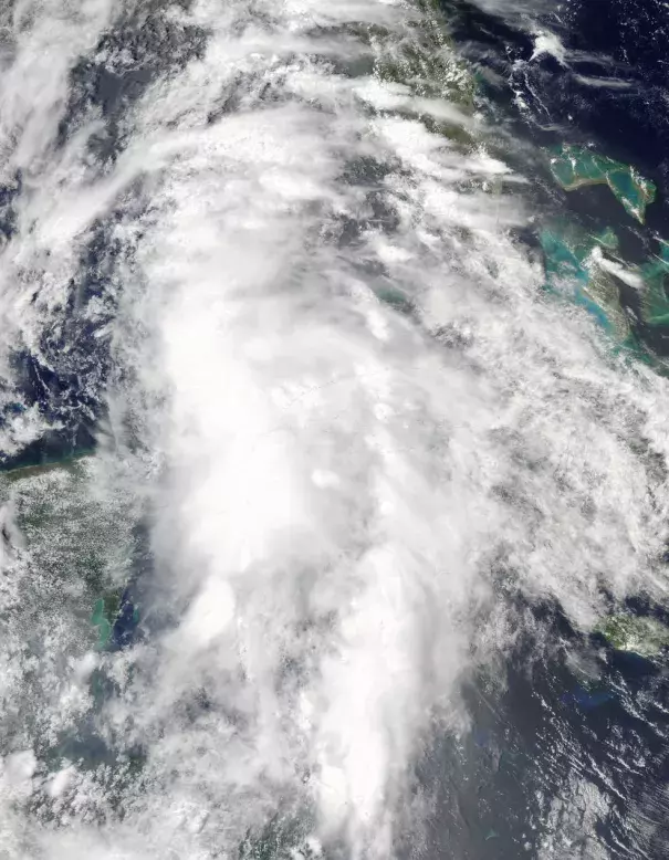
Tropical Storm Colin as seen by NASA's Aqua satellite at 7 a.m. EDT on June 6, 2016. Image: Brian McNoldy, NOAA
The main reason Bonnie and Colin were able to form is because the waters in the Caribbean Sea/Gulf of Mexico region and along the Atlantic coast have been so warm. The heat from the ocean helps fuel the convection that drives tropical cyclones (the generic term for tropical storms, hurricanes and typhoons)...
Perhaps the clearest link between warming and hurricanes is the storm surge that can inundate coastlines as storms come ashore. Storm surge is one of the main impacts expected with Colin, with anywhere from 1 to 3 feet expected to wash over low-lying areas from Indian Pass to Florida Bay...
Colin’s other major impact will be rain, which could lead to flash flooding
Related Content
Headline
Nov 28, 2016 | Category 6
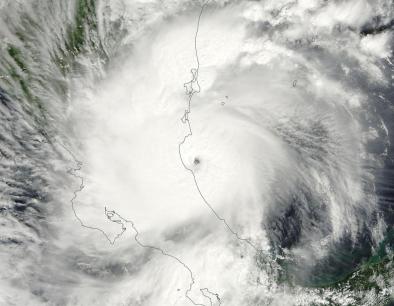
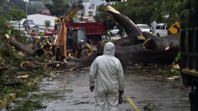
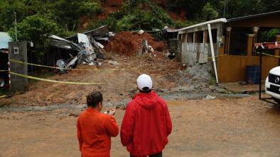
Otto Shifts from Atlantic to Pacific after Historic Landfall in Central America
Headline
Nov 28, 2016 | The Weather Channel
Hurricane Otto Death Toll Rises to Double Digits
Headline
Nov 28, 2016 | Los Angeles Times via Associated Press
Hurricane Otto bears down on Central America unusually late in season
Headline
Nov 22, 2016 | The Weather Channel
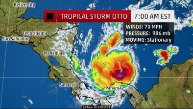
Tropical Storm Otto Nears Hurricane Strength; Forecast to Make Very Rare Thanksgiving Hurricane Central America Landfall
