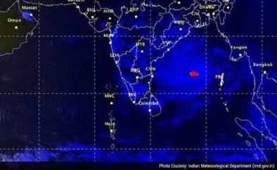
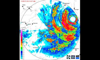
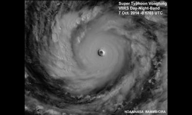
Super Typhoon Vongfong a Threat to Japan; Tropical Cyclone Hudhud Menaces India
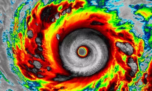
Earth's most powerful tropical cyclone since 2013's devastating Super Typhoon Haiyan, Super Typhoon Vongfong, peaked in intensity Tuesday with top sustained winds of 180 mph, and has weakened slightly to peak winds of 165 mph as of 12 UTC Wednesday (8 am EDT), according to the Joint Typhoon Warning Center (JTWC.) Vongfong completed a very impressive bout of rapid intensification that took it from a Category 2 storm with 105 mph winds at 18 UTC Monday to Category 5 strength with 180 mph winds at 18 UTC Tuesday. These are the highest winds of any tropical cyclone JTWC has rated since Super Typhoon Haiyan's 195 mph winds of November 7, 2013 (JTWC's post-season analysis showed Haiyan weakened slightly to 190 mph winds at landfall in the Philippines.) The Japan Meteorological Agency has held Vongfong's central pressure at 900 mb between 18 UTC Tuesday and 12 UTC Wednesday--the lowest pressure of any typhoon they have rated since Super Typhoon Haiyan's 895 mb pressure of November 7, 2013.
Related Content