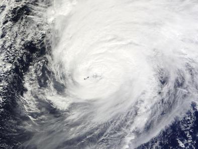
Bermuda Endures Direct Hit from Nicole
Nicole is a massive storm: its hurricane-force winds extend up to 70 miles from its center, and tropical-storm-force winds out to 205 miles. Nicole should remain sizable and powerful even after it gradually evolves into a post-tropical cyclone this weekend, posing no additional threat to land.
...
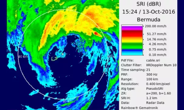
The northern eyewall of Nicole tore across Bermuda at full strength, with a lesser hit from the western eyewall after the eye passed overhead. Sustained winds peaked at 87 knots (100 mph) with gusts to 111 knots (128 mph) at a Windguru observation site at Commissioner’s Point on the northwest tip of Bermuda, according to James Dodgson, deputy director of the Bermuda Weather Service. A newer low-level reporting site, installed for the upcoming America’s Cup at Pearl Island in central Bermuda, recorded 76-knot (87-mph) sustained winds, gusting to 103 knots (119 mph)...Tidal data from Esso Pier, on the south side of Bermuda’s St. Georges Island, indicate a peak storm surge of 3.73 feet at 1:30 pm Thursday local time.
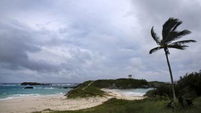
Nicole’s fury caused remarkably little damage on Bermuda, a sign of the island’s resilient buildings and infrastructure. Bermuda’s national security minister, Jeff Baron, said there was significant flooding and severe road damage at points around the island, along with downed trees and power lines.
Related Content