Snowpack Melting Earlier and/or Faster
Temperature directly influences mountain snowpack, which provides natural storage of precipitation during cold winter months until it melts and provides water in the form of runoff as temperatures warm. Over the past few decades, warming temperatures have been linked to changes in the percentage of precipitation falling as rain or snow, and snow melt anomalies showing a trend towards earlier and faster stream flow.
Read More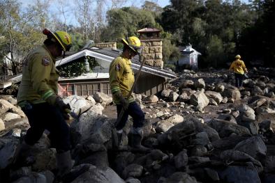
US trends
Annual trends toward earlier spring melt and reduced snowpack are already affecting water resources in the western United States.[1]
A May 2011 study based on observational data finds that temperature affects snowpack in the mid to late portion of the snow season (March through May), but it did not identify an influence during the earliest phase (February), when temperatures are generally well below freezing.[2] The mid- to late snow season is precisely when significant loss of snowpack is seen at nearly all locations over the past few decades, both through decreases in snow accumulation and increases in snow melt.[2]
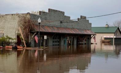
Spring snow melt can play a role in stream flow. The number of days with high stream flow (the top 25 percent of readings) has risen over the past 30 years in the largest rivers of the US, including the Ohio, Missouri, and Mississippi.[3] During the spring, some of largest increases in high stream flow days are in Upper Mississippi River Valley and the Northwest.[3]
The influence of spring temperature is particularly pronounced in years that experience low snowpack accumulations, indicating the potential importance of the albedo feedback[4] for the melting of shallow snow.[5]